Thunderstorms
in July 2002
(Photographs
copyright Eye On The Sky)
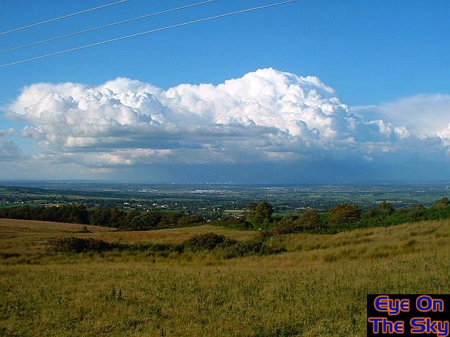 |
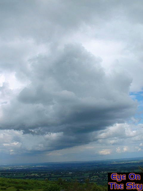
| Date:
10th July 2002 Location:
Hope Mountain, Flintshire, NE Wales. Much of the country was seeing sunny spells and scattered, heavy thunderstorms. The next series of images shows a huge storm over the Cheshire Plain, as viewed from Hope mountain in NE Wales. This first image shows the developing storm in the distance. . |
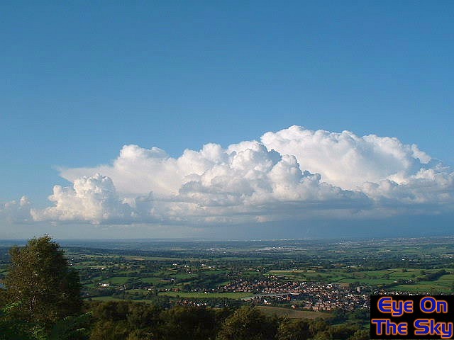 |
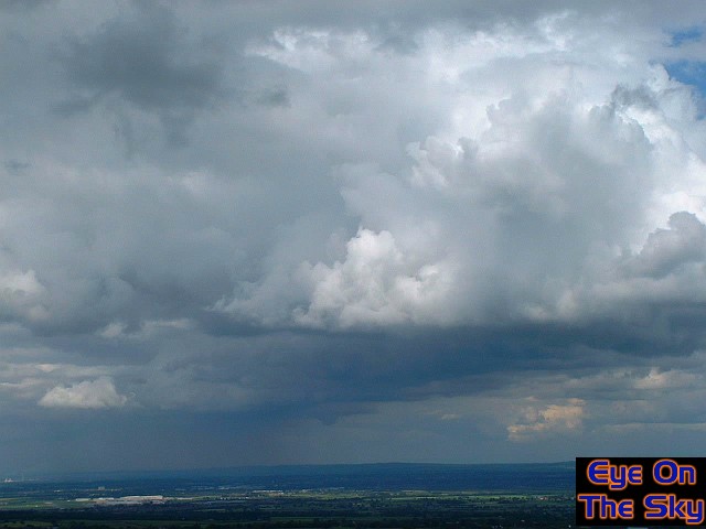
| Date:
10th July 2002 Location:
Hope Mountain, Flintshire, NE Wales. As the cloud begins to develop, keep an eye on the left hand portion of the storm, as the top initially flattens to form a superb spreading anvil, before another thrust sends a massive overshooting top skywards. . |
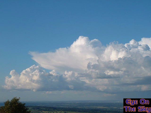 |
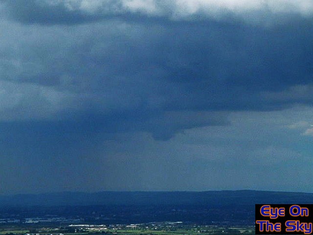
| Date:
10th July 2002 Location:
Hope Mountain, Flintshire, NE Wales. With the anvil well defined, the overshoot becomes more extensive, blasting up hundreds of metres above the freezing level, characterizing the strength of this storm. . |
 |
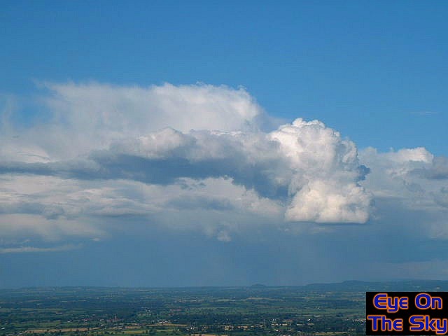
| Date:
10th July 2002 Location:
Hope Mountain, Flintshire, NE Wales. As the overshoot runs out of steam, another cell erupts to the north-west flank of the storm. This soon became the new fuel for the storm, dwarfing the existing overshoot. . |
 |
|
Date:
10th July 2002 Location:
Hope Mountain, Flintshire, NE Wales. |
 |
| Date:
10th July 2002 Location:
Hope Mountain, Flintshire, NE Wales. Another shot of this mini atomic bomb congestus, as it continues to spread northwards on the strong upper level winds. . |
 |
| Date:
10th July 2002 Location:
Hope Mountain, Flintshire, NE Wales. A 9-photo combined landscape image looking from north, around to east, and finishing looking south. This image shows how long lines of storms were developing along a convergence line. A larger EOTS Panomotion version of this image is availabe here (requires Java applet). . |
 |
| Date:
11th July 2002 Location:
Hope Mountain, Flintshire, NE Wales. The next day becomes lively once again, and across the Cheshire Plain, a squall line begins to set up that would later deliver thunderstorms and hail to eastern parts of the country. . |
 |
| Date:
11th July 2002 Location:
Hope Mountain, Flintshire, NE Wales. As the squall line becomes deeper and more organised, in the distance I spot a lowering in the main cell centre, which could well have been an attempt at a funnel cloud (centre of picture) . |
 |
| Date:
11th July 2002 Location:
Hope Mountain, Flintshire, NE Wales. A close up of the suggested funnel lowering, before it became wrapped in sheets of rain and lost from view. . |