The
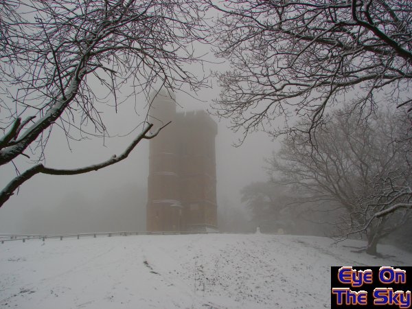
summit of Leith Hill was sufficiently high to poke into the low cloud
base. Here, Leith tower looms out of the gloomy, bleak winter scene.

Some
brave souls had obviously ventured onto the hill long before we had!
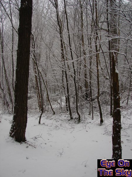
A scene of contrast, as winter-stripped trees stand out against the
while blanket.
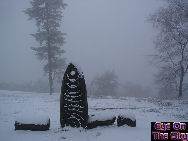
Wooden artwork on the summit of Leith Hill contrasted nicely to the
shades
of white and grey in the distance.
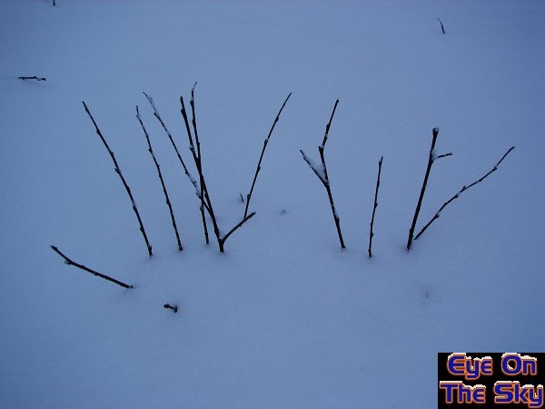
A
little more striking contrast.
As
lovely as the snowfall was across Surrey, it had largely melted away
by the following evening. However, that wasn't the end to the wintry
weather.
February
7th-8th 2006
During the 6th and 7th of February, the
next northerly flow developed across the UK. Whilst this lasted for
little longer than 48hrs, the cold air was very deep and would take
some shifting. During the morning of the 8th, milder Atlantic air
decided it was time to move the cold air out of the way, and here
commenced a battle of airmasses.
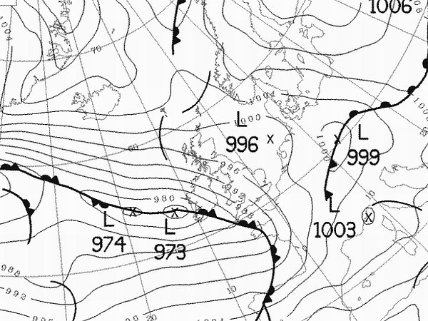
Below
is the synoptic chart from the UK
Met Office,
which shows the cold air across the UK following 48hrs of cold northerly
winds. The front heading in from the south-west was slow and would
eventually be killed off as it headed north. Thanks to Wetterzentrale:
The
following radar images shows the progress of the frontal systems as
they moved north-eastwards into the cold air. Images copyright MeteoGroup
UK.
RADAR
COMING SOON
This
setup, with fronts moving north-eastwards and colliding with cold air,
used to be fairly common in UK winters. Indeed, it was probably the
most regular snow-delivery system in central and southern areas of the
UK. However, in recent years the frequency of these events has declined
rapidly. The impact of this event was therefore all the greater, and
much of southern England was on a state of alert as the snow would arrive
during the morning rush-hour!
Bren
was working in London during this snowfall event, and in anticipation
of train-commuting chaos, decided to leave an hour early for work. This
meant catching a train at 6:20am, although he took his time on the walk
to the station, taking lots of photographs. The following image set
shows the snow which had been falling from around 5am onwards.
05:45: Heading out of the front door in Weybridge, the snow lay around
3-5cm in depth already. Scenes were very similar to those just a couple
of weeks earlier.
Once
again, EOTS were the first brave souls on the streets at
this time and it was still snowing hard.
The
snow was far wetter than previously, and was effectively glueing itself
to every surface it could find. At this stage, the cover was still around
3-5cm.
Another
crisp and even cover, although not particularly deep at this stage.
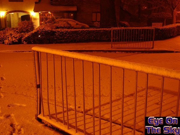
A
good illustration of the snowfall depth at 5:50am, with around 4-5cm
lying
on top of these metal railings outside of Weybridge primary school.
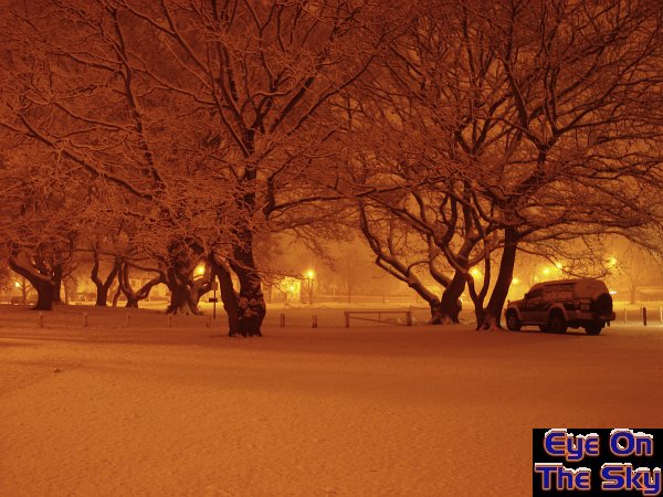
The
view of Weybridge cricket green around 6am. The trees were heavy with
the wet and sticky snow, and the almost fog-like conditions in the background
were caused by the increasingly heavy falling snow.
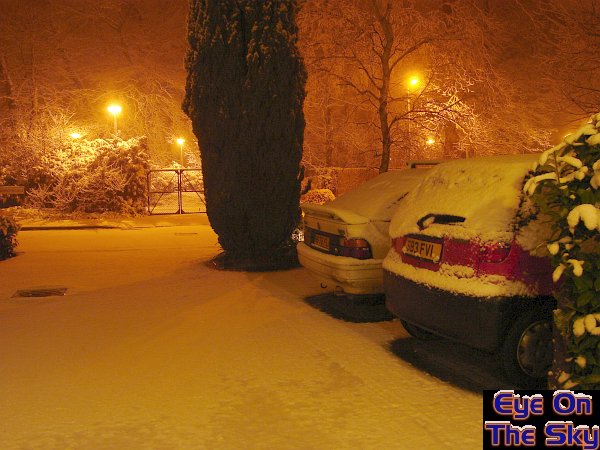
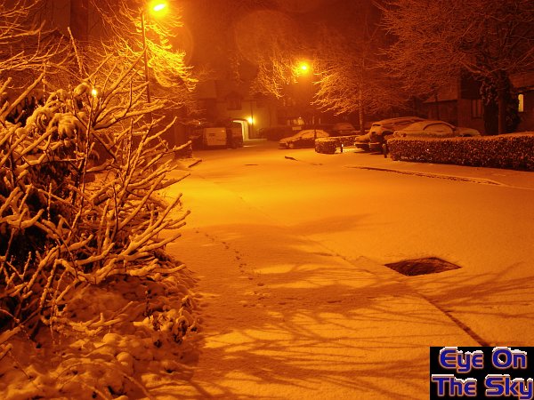
The
back roads through housing areas were completely covered by around 5cm
of snow at this stage. Earlier car-tracks had already started to fill
in once again.
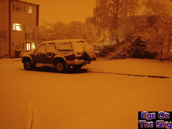
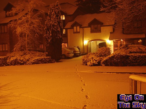
6:00am:
Although it is technically light pollution, there's nothing quite like
the
yellow and orange glows of street lights on a night-time snowfall scene.
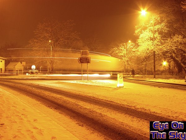
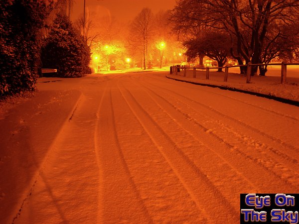
The
main road near Weybridge station at around 6:15am. Although the roads
were semi-clear, there was still plenty enough of the white stuff to
make for slippery driving.
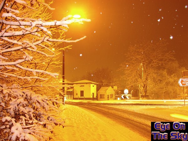
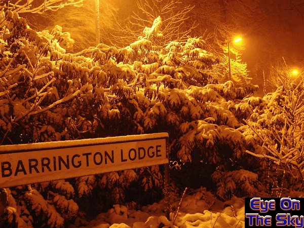
The
snow was still falling at 6:15am near Weybridge station. The trees and
branches were displaying their 5cm of cover nicely in the camera flash.
Another
day another dollar. However, the morning commute seemed all the more
enjoyable with the newly white blanket covering everything. What's better,
the trains were all running on time and to schedule!
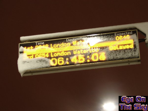 At
Clapham Junction right in the heart of London, snow was still falling
fast at
At
Clapham Junction right in the heart of London, snow was still falling
fast at
6:45. Thankfully, Bren's train was the top one on this ticker board!
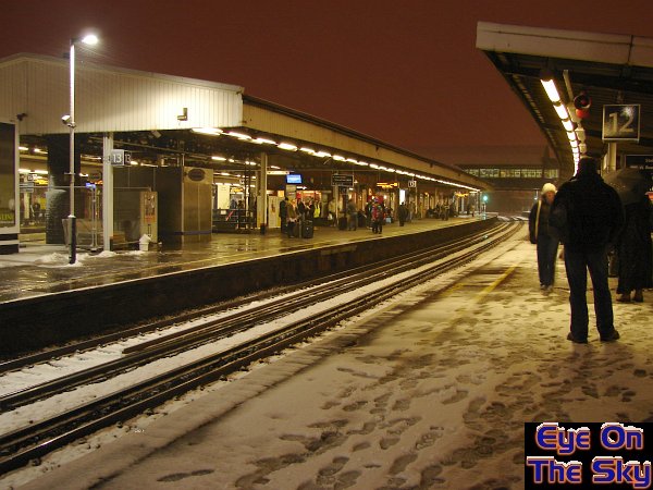
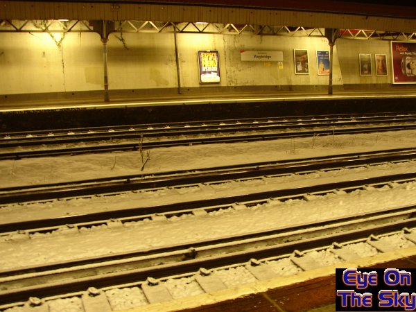
Even on the commuter-trodden platforms of Clapham Junction, Britain's
busiest train station, snow still manages to cover much of the platform.
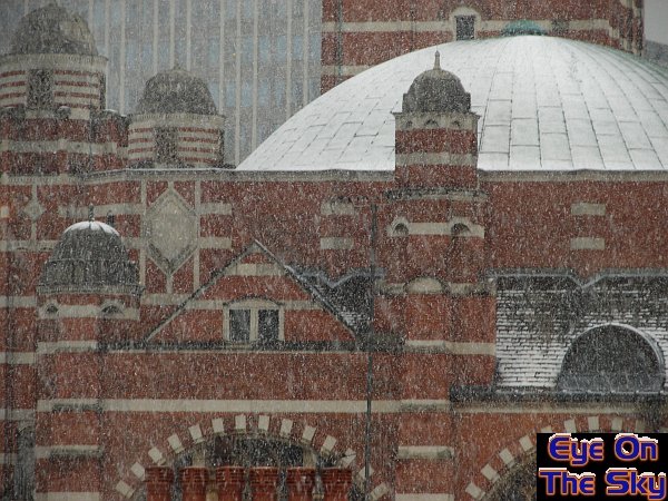
By
late morning in Victoria, London, the snow was still falling thick and
fast. The roof of Westminster Cathedral changed from green to white,
and looked pretty!
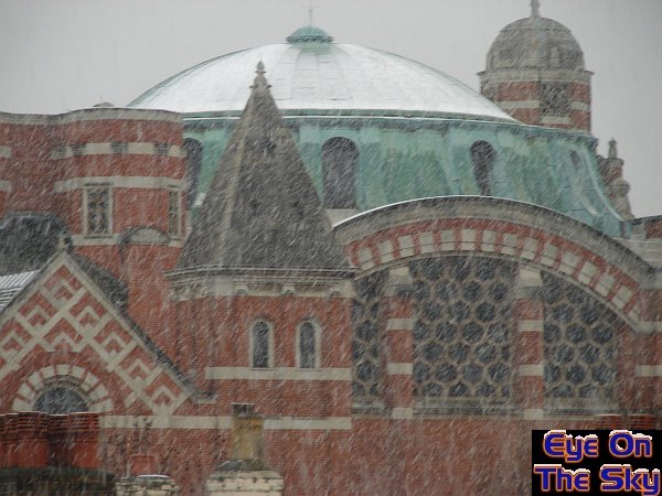
Another
shot of Westminster Catherdral as snow tops up an ever-whitening roof.
The
snow gradually petered out before lunchtime, and as it moved northwards
it gradually died away. Some parts of southern England received far
more snow than we did, with higher parts of the Chilterns picking up
nearly 15cm of level snow. However, this was not the end to the snowy
struggle between mild and cold. The next heavy snowfall moved up the
western side of the UK, and the EOTS team were not going to miss it!