|
>Devergence
Convergence storms in SE Devon 6th August 2007 |
||
|
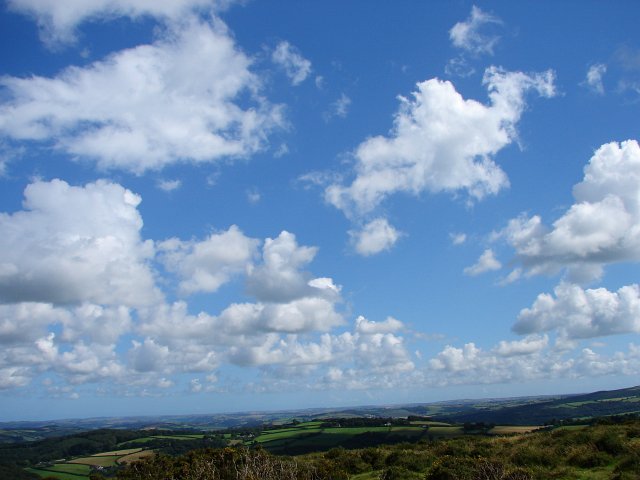
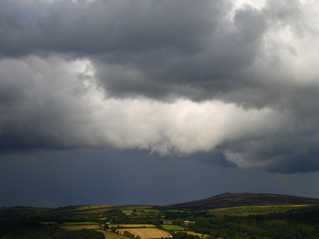
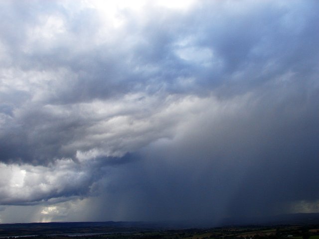
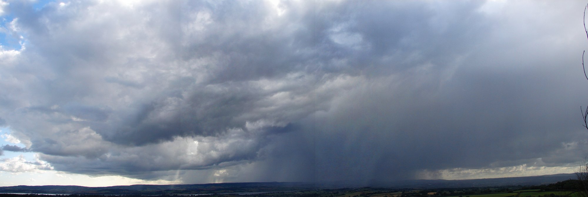
A particular favourite of the EOTS team are showers and thunderstorms produced from slow moving, narrow convergence lines. These localised strips of uplift, often resulting from topography or areas where winds are converging from all directions, can create relatively small but potent thunderstorms, often responsible for funnel or weak tornado sightings. Once such convergence line looked like setting up in south Devon on 6th August 2007, as the coast and the land interacted, augmented by the high ground of Dartmoor. It was a post cold front air mass with plenty of CAPE and other ingredients required to produce heavy downpours. As the sea breeze pushed inland during the afternoon, it encountered winds flowing across Devon from the opposite, north-westerly direction. The result was dramatic uplift right across south Devon and the generation of showers and thunderstorms. The following synoptic chart shows the weather situation at the time (provided by http://www.wetterzentrale.de and copyright UK Met Office):
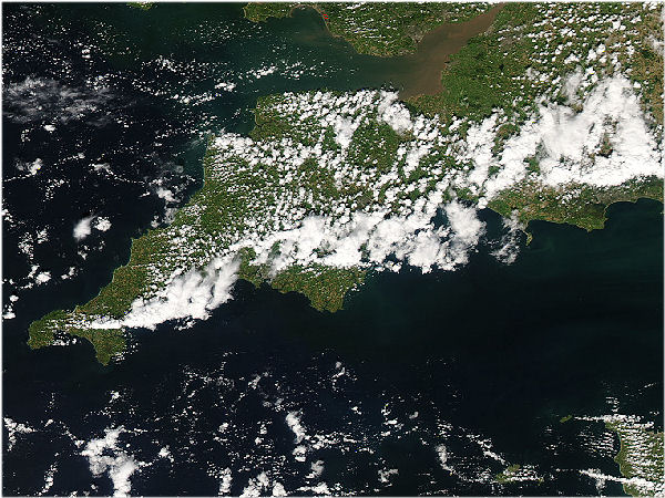
By early afternoon, the magic had begun and the convergence line across south Devon had commenced. The satellite image below, thanks to the Modis Rapid Response System, shows the development of line of heavy showers stretching right across south Devon, and also south Cornwall and into Somerset and Dorset. We positioned ourselves in the South Hams area of Devon to look back northwards at the developing line. The South Hams area is the triangular point stretching southwards out of the cloud, roughly in the centre of the image below.
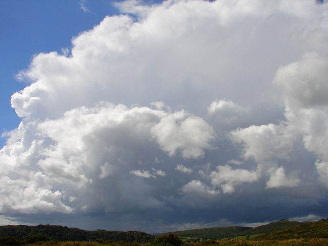
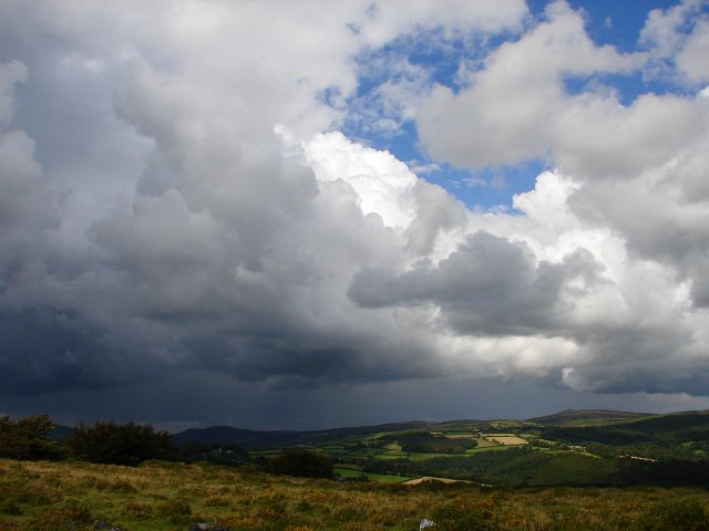
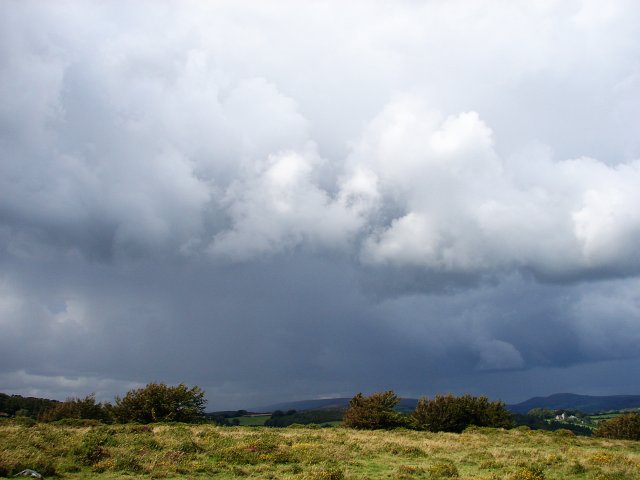
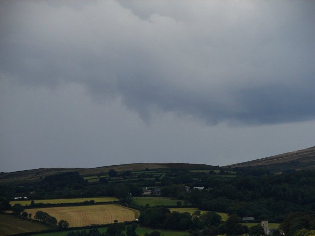
It was at this point, around early evening, that thunder started sounding in the distance and we took this signal to head northwards, punching through the line of heavy showers to get to the north side of the action, hopefully with a better view of any lightning.
We've produced a short video clip of the day's convergence line action, which includes predominantly timelapse video of the line of showers and thunderstorms across south Devon: Format:
Windows Media Video (wmv)
Copyright eye on the sky 2001-2009 |
||