When
people decide to use charts to formulate their own weather forecasts,
they will often use surface-based synoptic charts. As a rule of thumb,
these are generally very good and can give an excellent idea of the
general weather type, including surface flow and frontal systems. However,
the main driving force of much of the weather at the surface, is dictated
by what is going on much higher in the upper air patterns. During the
4th June 2006, high pressure dominated the surface synoptic charts,
as shown below in the Met Office analysis for the day (provided by http://www.wetterzentrale.de
and copyright UK
Met Office):
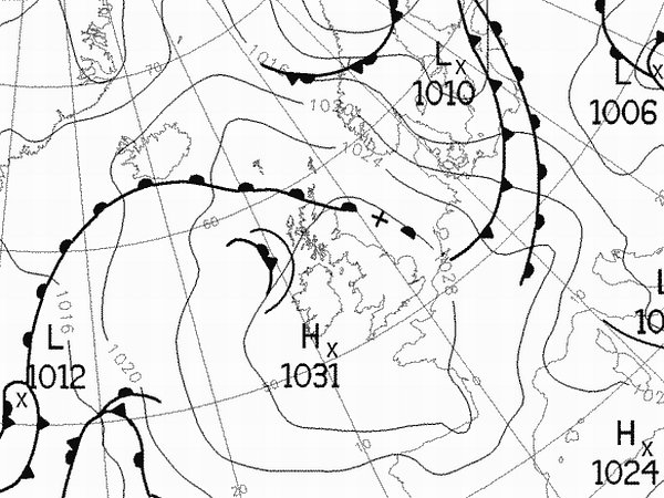
Based on this chart, one might expect generally dry, if not sunny conditions
across southern parts of England. However, the upper charts were showing
a marked weakness moving southeastwards through the day, in the form
of an upper trough. As temperatures reached the low to mid twenties
Celsius during the afternoon, this upper trough allowed a scattering
of showers to develop, one or two of which became thundery.
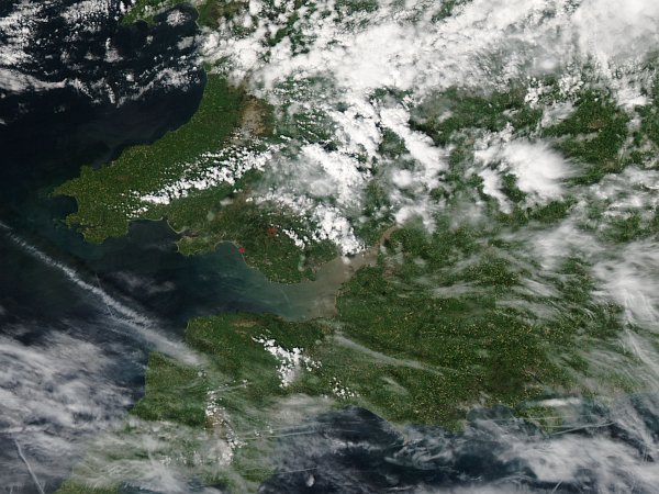
One
particular cell developed close to the border of mid Wales and the west
Midlands, and began to track south-east. Picking up this cell on radar,
we decided to head for a short chase along the A303 to Wiltshire, where
we estimated an intercept during the early evening. The satellite image
below, thanks to the Modis
Rapid Response System, shows the development of the thunderstorms
and showers across east Wales during the early afternoon period:
And so the chase began....
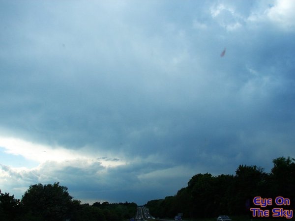
This
was the scene on the A303, close to the Wiltshire-Hampshire border.
The
front edge of the thunderstorm was now casting a looming anvil overhead.
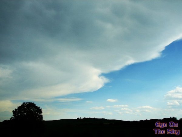
The
view looking southwards from the A303, as the streaming anvil now passed
overhead.
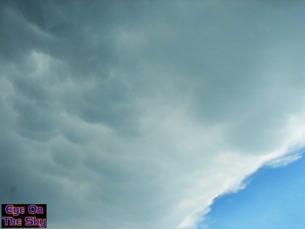
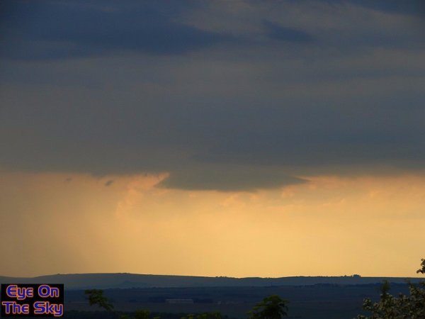
Embedded
within the towering anvil were numerous mammatus clumps.
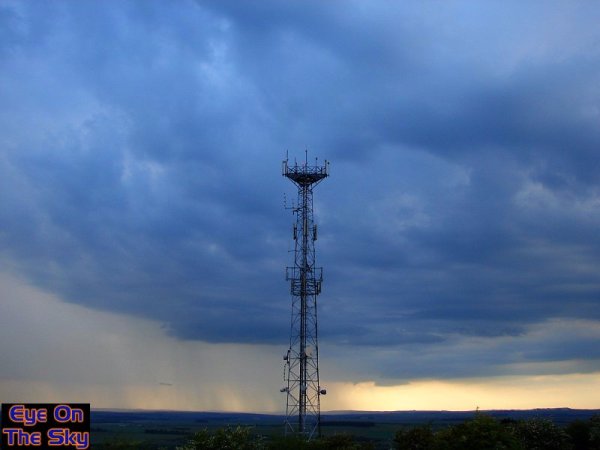
We
settled on Beacon Hill, a military-owned hillside which sits beside
the A303. The
site has superb views over the surrounding Wiltshire countryside. As
we arrived, the
heavens opened, and our lightning detector was screaming at us!
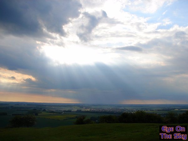
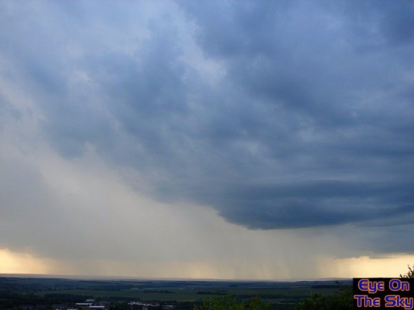
The
original thunderstorm died overhead, after giving a few more cloud to
cloud lightning discharges. However, as it dissipated, it cleared to
leave a view to the
north-west which showed more heavy shower development was heading in.
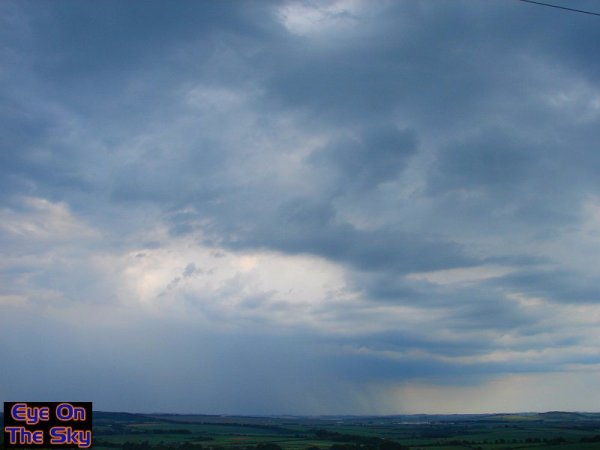
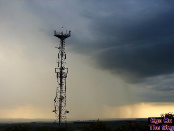
At
this stage, the shower heading towards us from the north-west horizon
did not
look like anything particularly noteworthy. However, as the sunshine
returned ahead
of it, we decided to wait for it to arrive, in case the extra energy
caused regeneration.
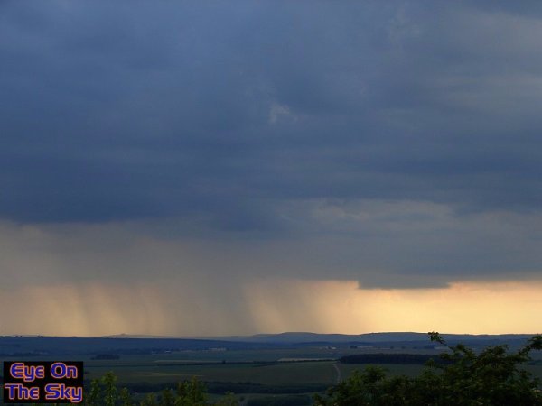
We were not disappointed as, not only did the shower develop into a
weak thunderstorm, but more heavy downpours broke out ahead of it. This
view looking north.
As
a curtain of rain approached, it looked superb against the backlight
of a setting sun. The updraft ahead of the rain (right of image) also
began to look interesting.
A
short time later, and the rain was just a few miles away. The updraft,
again to the right of this image, became very spherical and striated.
Just
ahead of the rain area, beneath the updraft, this curious wedge-shaped
lowering developed. It was in the right place to suggest a weak, non-rotating
wall cloud.
A
short time later, and the lowering really began to look like a weak
bell-shaped wall cloud. It dissipated quite quickly after this.
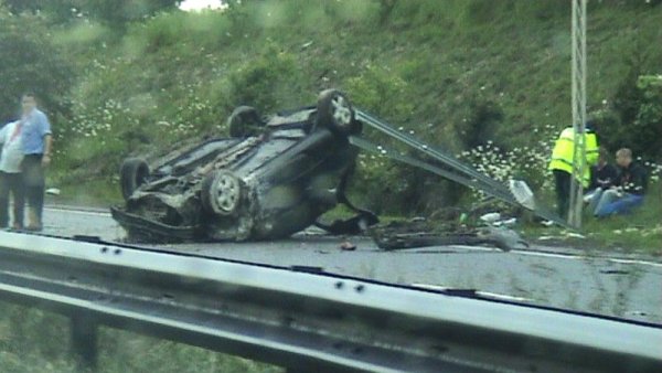
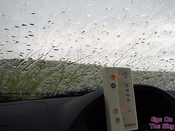
A
downpour of epic proportions then arrived, and we decided to head home.
On the way, the terrible road conditions caused this horrific accident,
closing the westbound carriageway of the A303. Thankfully, the occupants
were not badly injured.
 As
the storm cleared away, we quite liked this 'hole' in the storm base,
As
the storm cleared away, we quite liked this 'hole' in the storm base,
almost as if everything was being sucked upwards into its heart.
We've
produced a short video clip of the day's storm, which includes predominantly
timelapse video of the cell as it approached.
Format:
Windows Media Video (wmv)
Video:
14.7mb, 1:24
This
wasn't a hugely active thunderstorm, making for an incredible chase.
However, it was a good way to spend a couple of hours on a quiet afternoon/evening,
and we think we bagged some good results.

Copyright
eye on the sky 2001-2009
|