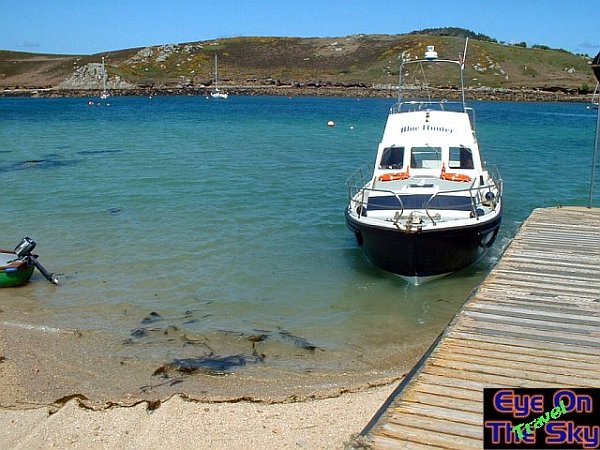
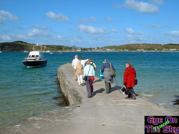
Our
boat for the day, the Blue Hunter, drops us off at the quayside on Bryher.
In the background is the Isle of Tresco, which can be walked to across
the Tresco Flats from Bryher at low tide.
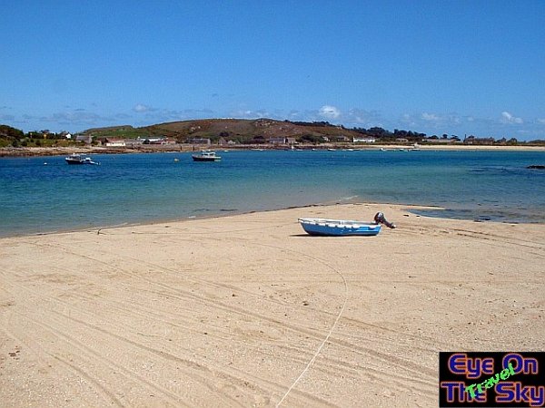
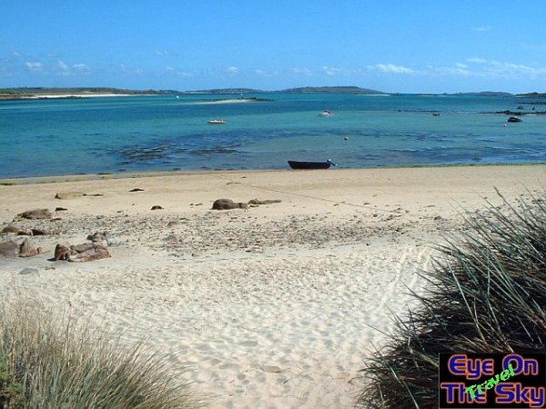
Golden,
empty sands slowly dipping beneath the waters of the Tresco flats,
on the eastern side of Bryher.
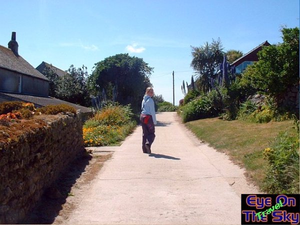
The
main road through The Town, Bryher's small village and heart.
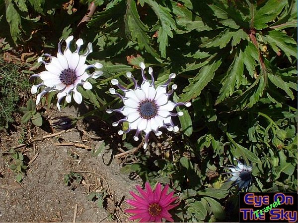
The
most bizarre flowers we have ever seen, growing by the roadside on Bryher.
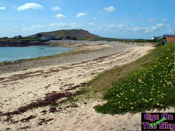
More
golden sands and clear blue water on the eastern shores of Bryher. In
the background is the southern tip of Tresco, and St. Mary's behind
that.
The
slightly more rugged west coast of Bryher, just 15 minutes walk from
the east coast. With more wave action here in Popplestone Neck, the
beach has seaweed and rocks strewn across it.
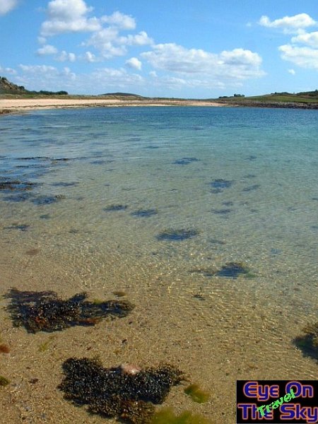
Despite
the exposure to the open ocean, the seas are just a clear
and pure as those elsewhere on the Isles of Scilly.
Departing
Bryher Quay, as the Blue Hunter returns to take us back to St. Mary's.
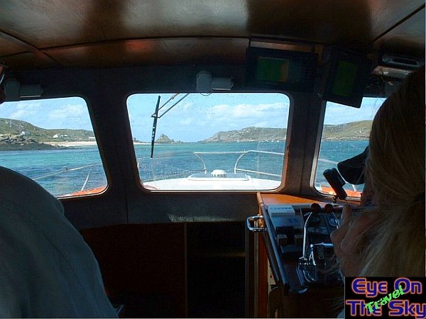
Aboard
the Blue Hunter.