The area of SE Belgium, with nothing to report of significance on the radar at this time.
Supercell Radars - Belgium
All radar from PA Weathercentre, with permission.
12:00
The area of SE Belgium, with nothing to report of significance on the radar
at this time.
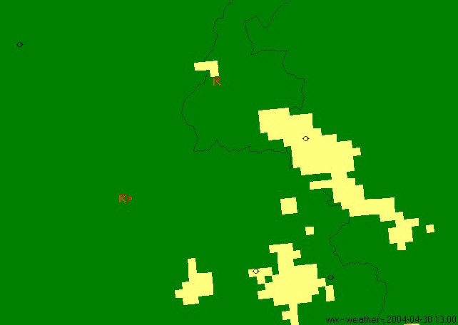
13:00
Small individual cells start to form north-west of high ground.
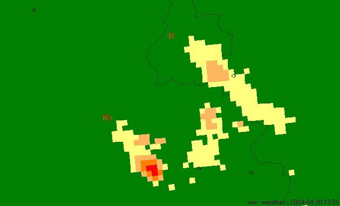
13:30

Numerous thunderstorm cells amalgamate to form one large cell.
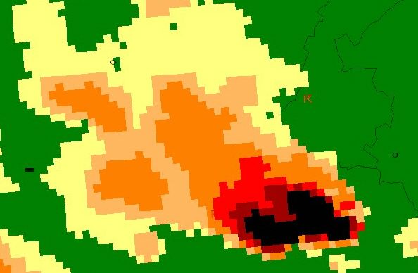
13:45
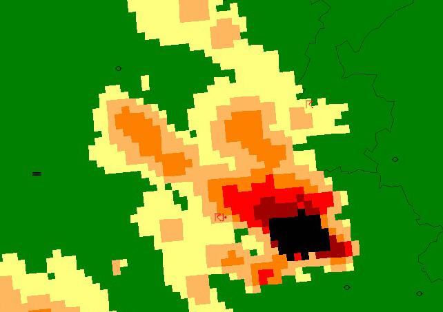
One large thunderstorm now becomes established with anvil rainfall spreading
upwind to the NW.
Rainfall rates depicted in black are >32mm/hr.
14:00
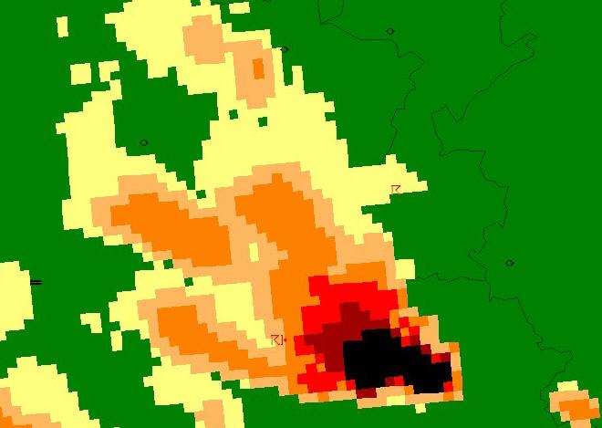
The main core of the storm increases and begins to elongate.
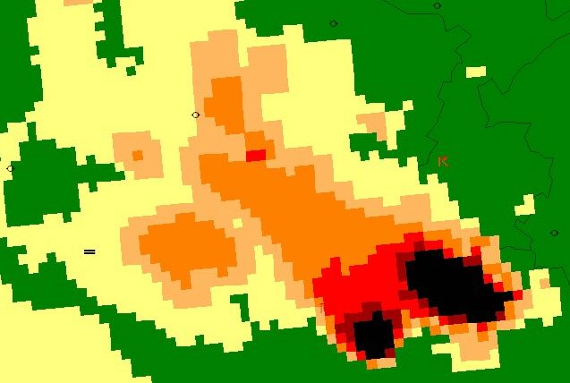
14:15
As radiating anvil stretches further NW, the core begins to split, with the
southern cell maintaining a track
consistent with the north-westerly flow, but the upper cell beginning to "right-move"
to the north.
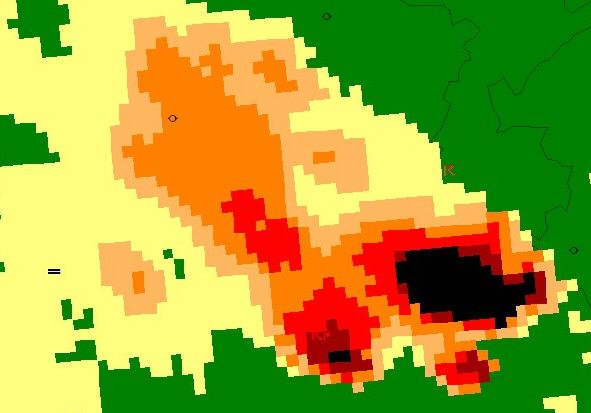
14:30
The two cells now split completely, with the larger northern cell showing definite
"right-movement" to the
north, 45 degrees to the main flow. Note the radiating anvil, and also the most
eastern part of the larger
cell core....
14:45
The smaller cell now diminishes, but the right-moving cell starts to develop
a well-defined hook-echo.
From this point, the storm amalgamated with more thunderstorms moving up from the south.
This cell produced flooding and large hail, with reported fatalities. The storm
splitting, impressive right-
movment of the northern cell, and the development of a hook echo leaves no doubt
that this Belgian storm
was an impressive European supercell.